

Serra da Estrela
Nearby are mountain and historic villages such as Folgosinho and Linhares da Beira, as well as some of the most emblematic places in the mountains, including Manteigas, the Zêzere Glacier Valley, Lagoa Comprida and the Torre, the highest point of mainland Portugal.
To help you plan your stay, we’ve put together some of our recommendations for exploring the Serra da Estrela on this page.
From the immediate surroundings of Curral do Negro and the town of Gouveia, to historic villages, mountain trails, river beaches, culinary experiences and day trips, you’ll find ideas here for exploring the region at your own pace, whatever the season.
Around Curral do Negro
Not all discoveries require long journeys. In the immediate vicinity of Curral do Negro, there are several viewpoints, woodlands and walking trails that invite you to explore the landscape of the Serra da Estrela at a relaxed pace.
Curral Viewpoint
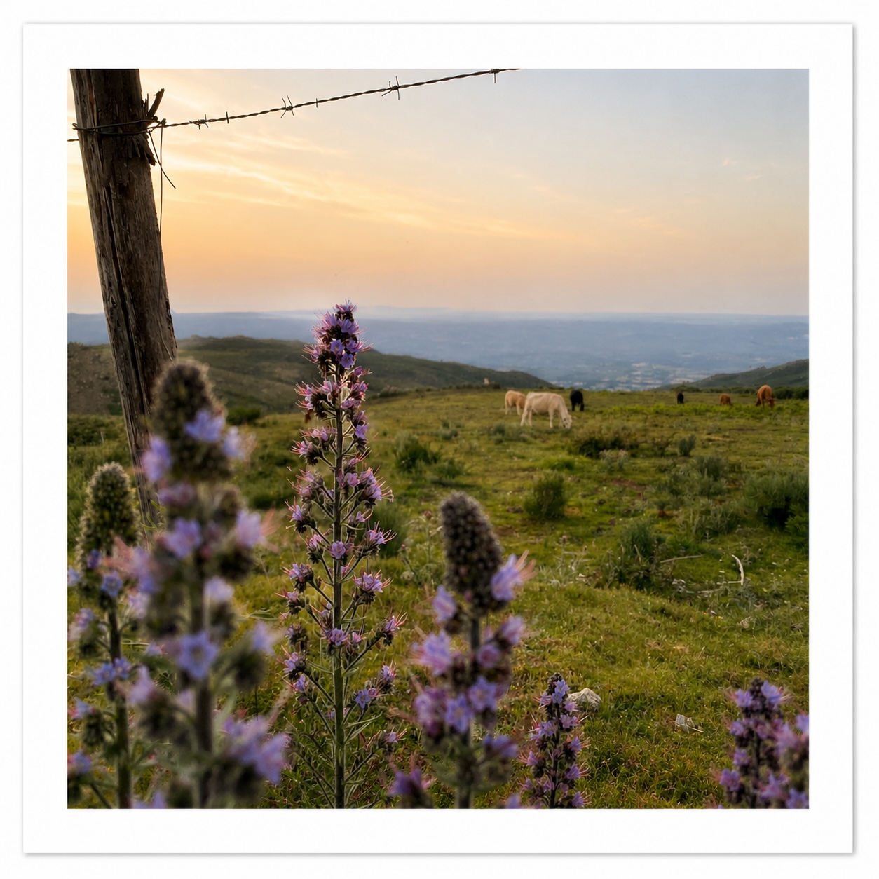
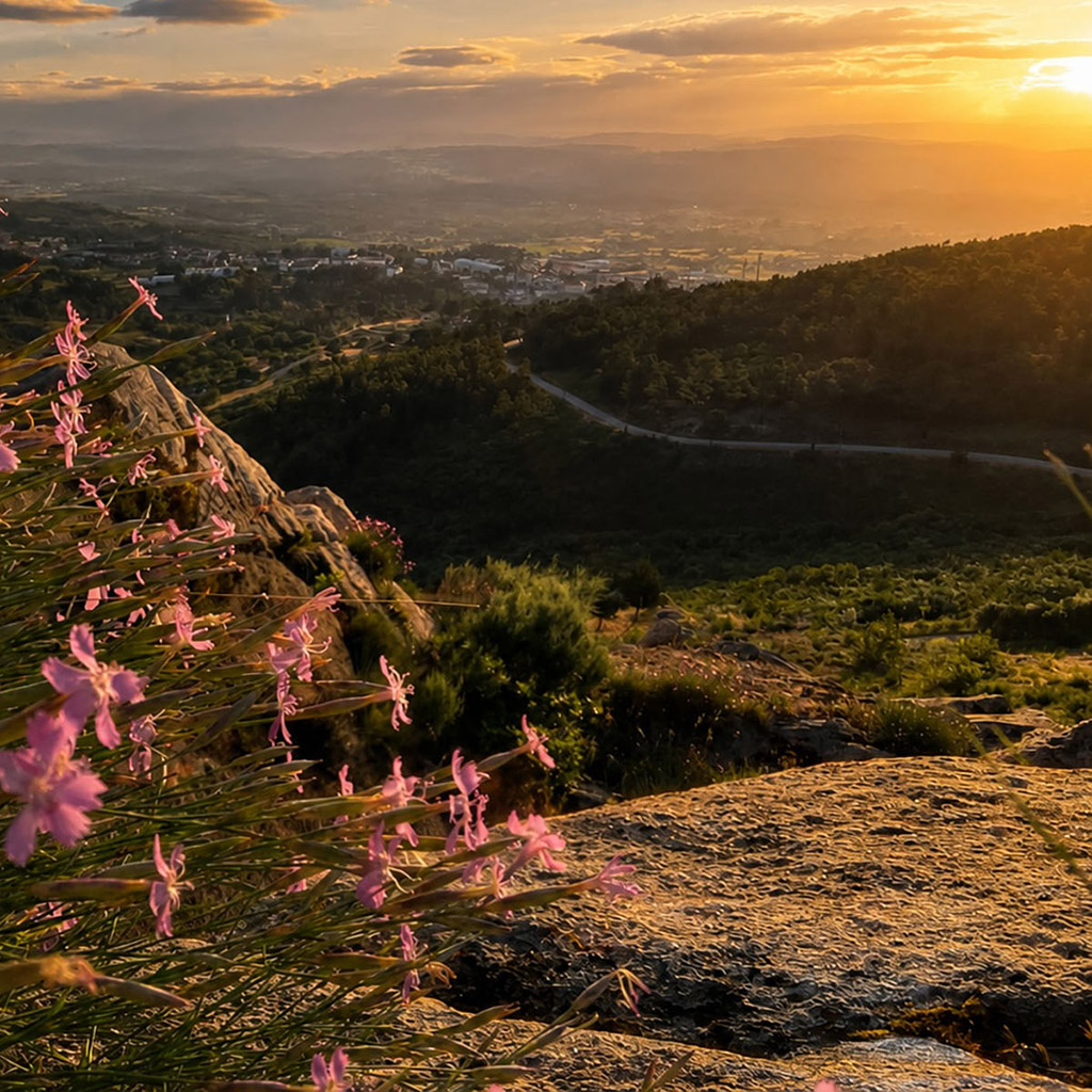
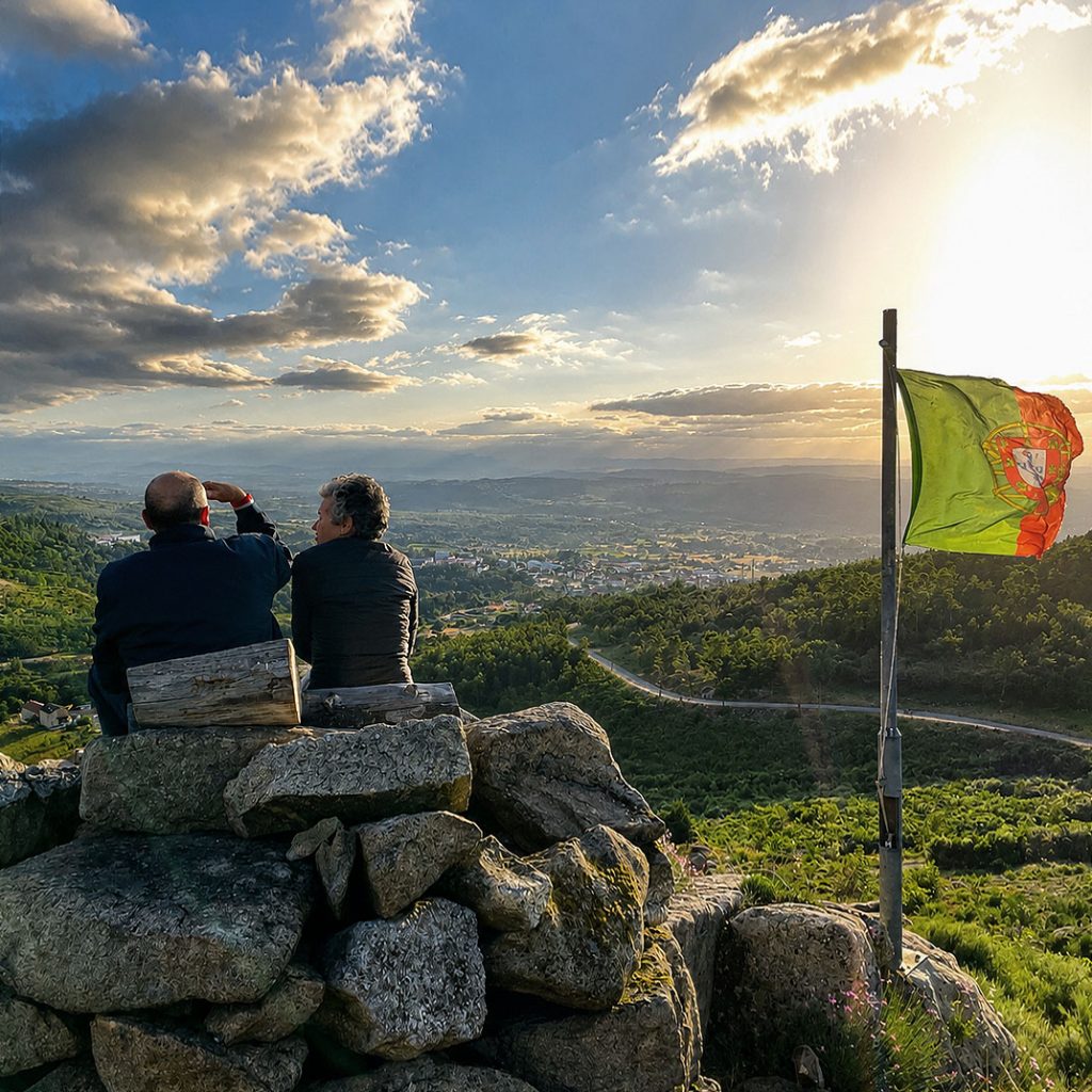
Situated about 200 meters west of the park, This small viewpoint It offers a wide panoramic view of the Mondego Valley and the surrounding mountains. It is a privileged place to enjoy the sunset and observe, on clean days, other mountain ranges towards the coast, including the Serra do Caramulo.
Gouveia Balcony
Located about 1 km north of the park (15 to 20 minutes by foot), the Gouveia Balcony is one of the most emblematic viewpoints in the region. Implanted in an area of mountain pastures, it offers a privileged view of the northern slopes of Serra da Estrela, the Mondego Valley and the traditional agricultural landscape that characterizes this territory.
Vale da Cadela Hikin Trail
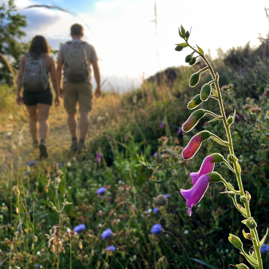
The hiking trail PR5 GVA Vale da Cadela is a 12 km circular route starting right at the campsite’s gate. The path crosses forest areas, water lines, ancient levadas, mill ruins and some of the most characteristic natural environments of Gouveia. Interpretive panels allow you to learn about the biodiversity and history of the use of water in this valley.
Curral do Negro Bosque
Emblematic forest space that surrounds the park and provides abundant shade during the warmer months. Its diversity of species, including black oak, pine trees, medronheiros, pseudotsuga and birch, creates a favorable habitat for birds, mammals and a rich variety of fungi that develop during the rainy months.
Tapada de Santa Cruz and Fonte das Cegonhas
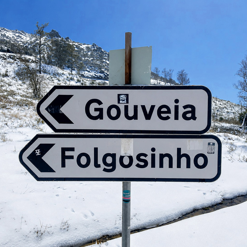
Forest area of high ecological value crossed by the route of the Cadela valley. Tapada’s dark ravines play an important role in the water supply to the Negro Curral and the city of Gouveia. On the road side to Folgosinho you find the Fonte das Cegonhas source, linked to an ancient popular legend about fertility.
Gouveia and surroundings
A few minutes from Curral do Negro you find some of the most interesting natural, cultural and recreational sites in the municipality of Gouveia and Serra da Estrela. Between viewpoints, lakes, mountain rivers, mountain villages, museums and walking trails, there are plenty of options to discover the region at any time of the year.
Nature and Landscapes
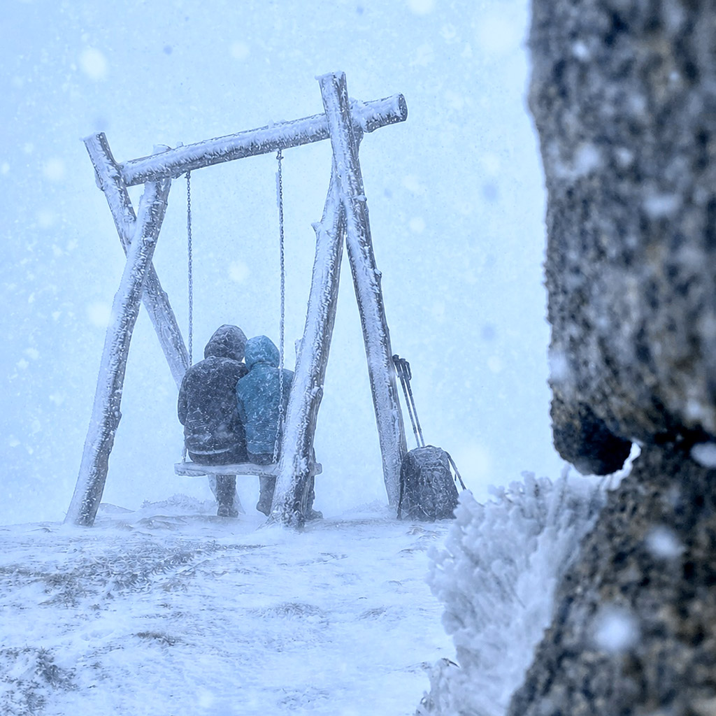
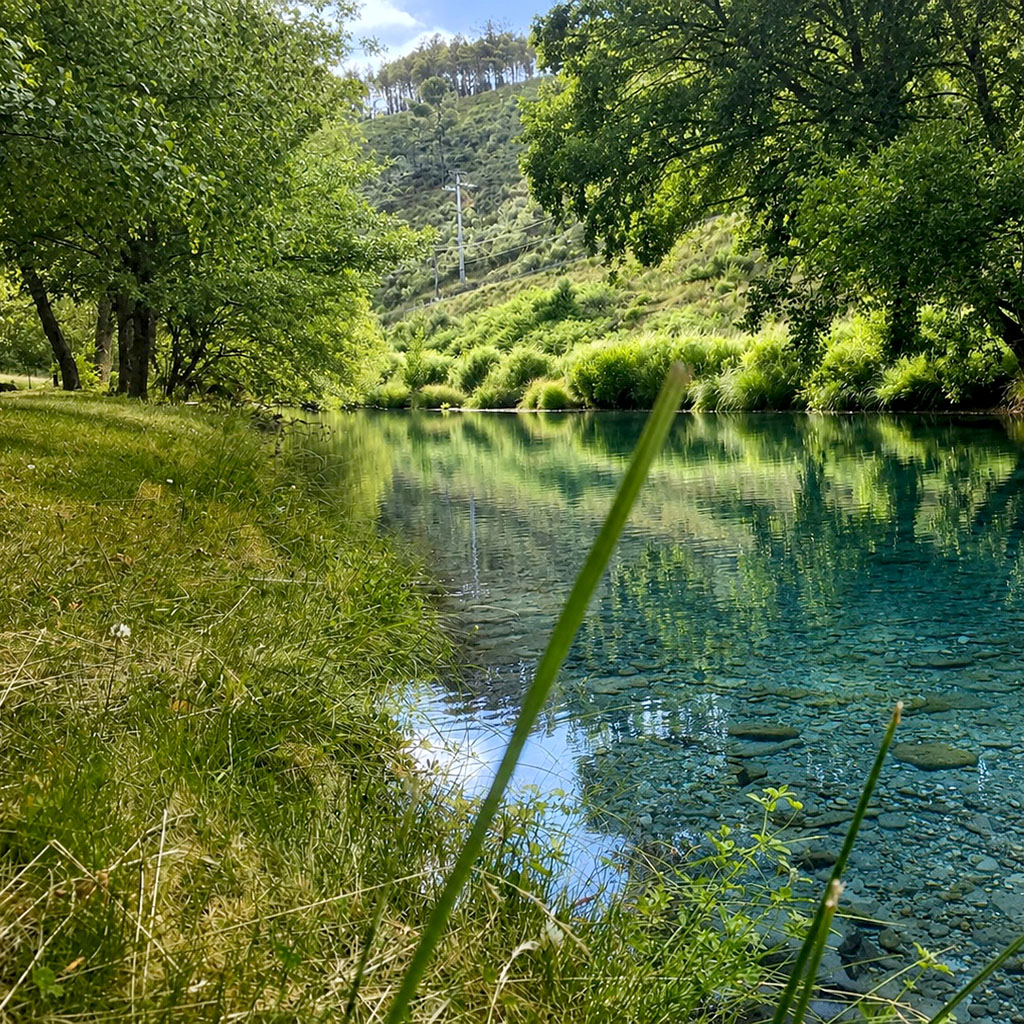
Discover some of the most emblematic natural sites on this hillside of the Serra da Estrela Natural Park, including Pharaoh’s head with the Pharaoh’s swing, above Portela de Folgosinho (20 min; final access of 1,200 m by forest path from Portela pass), as well as the lake of Rossim Valley and the Spring of the Mondego River (30 min).
Folgosinho and the mountain
Explore Folgosinho, one of the most emblematic mountain villages of Serra da Estrela, with the castle built in the 1940s on an imposing quartz lode (13 min). Going towards Manteigas, you will find the Plateau of Casais de Folgosinho with its rye fields, the hermitage of Our Lady of Assedasse (20 min) and the refreshing river beach of the Covão da Ponte (25 min).
Museums, Culture and Literature
Discover the cultural heritage of the city of Gouveia (8 min) through the Miniature Automobile Museum, the Abel Manta Museum, the Grandparent’s Museum, the Art and Memory Space and the House of Jewish Experience (by marking). In the surroundings, also discover the literary walk and the Virgílio Ferreira House, in the village of Melo (20 min).
Routes and Activities
enjoy the Municipal pedestrian path network, the Gouveia Ecological Park (11 min) and the annual program of biodiversity tours and activities promoted by the Municipality and the Center for Ecology, Recovery and Surveillance of Wild Animals – CERVAS, or discover traditional weaving at Fio Handmade.
Nature and Trails
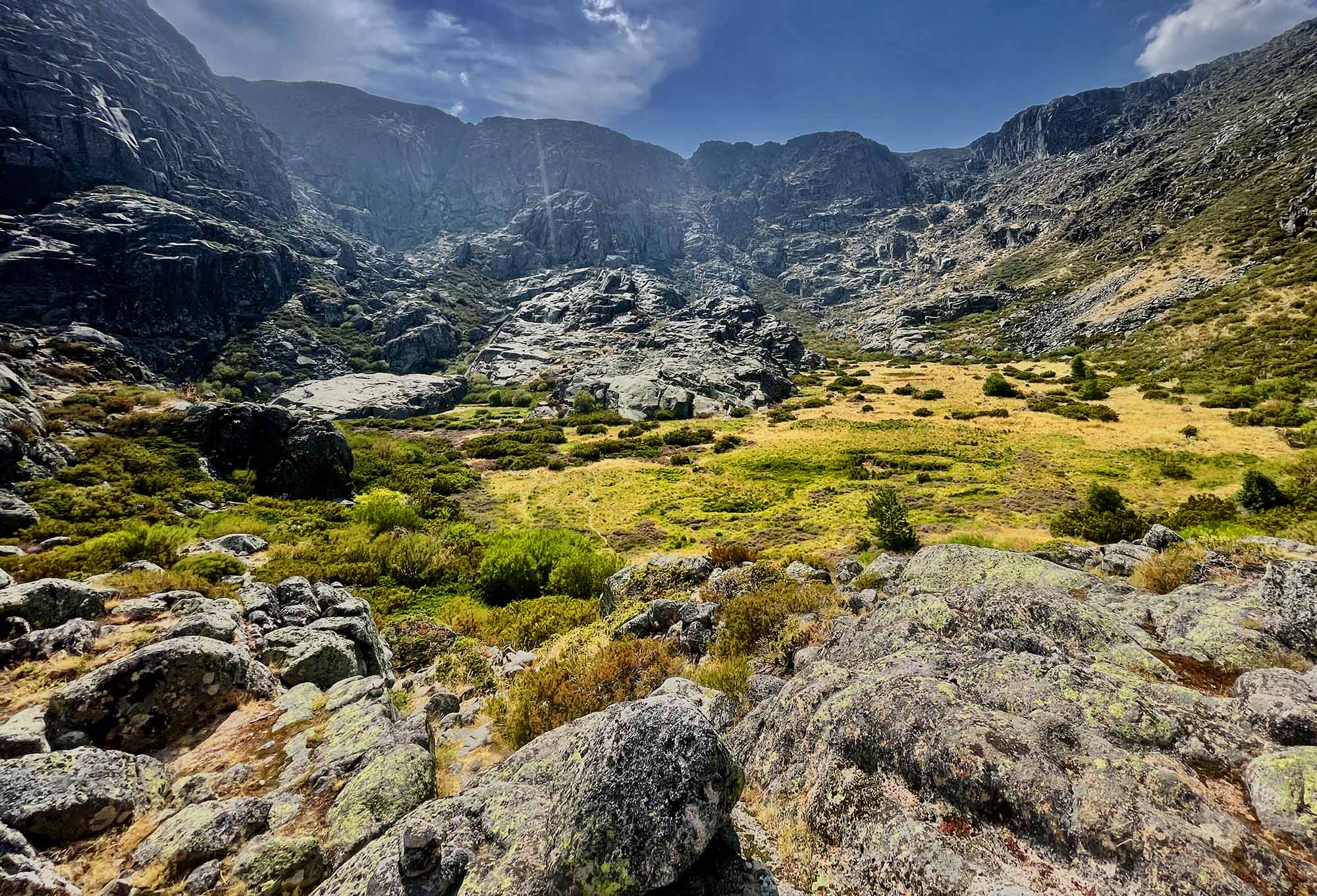
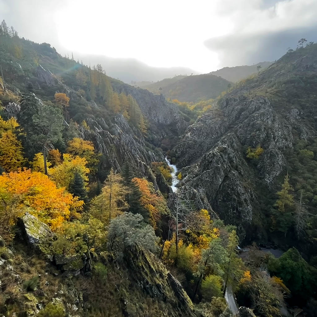
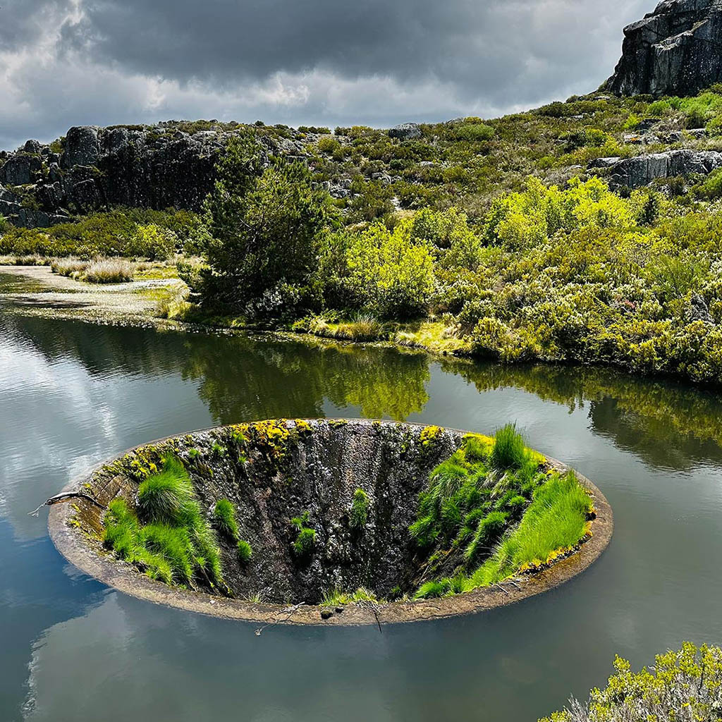
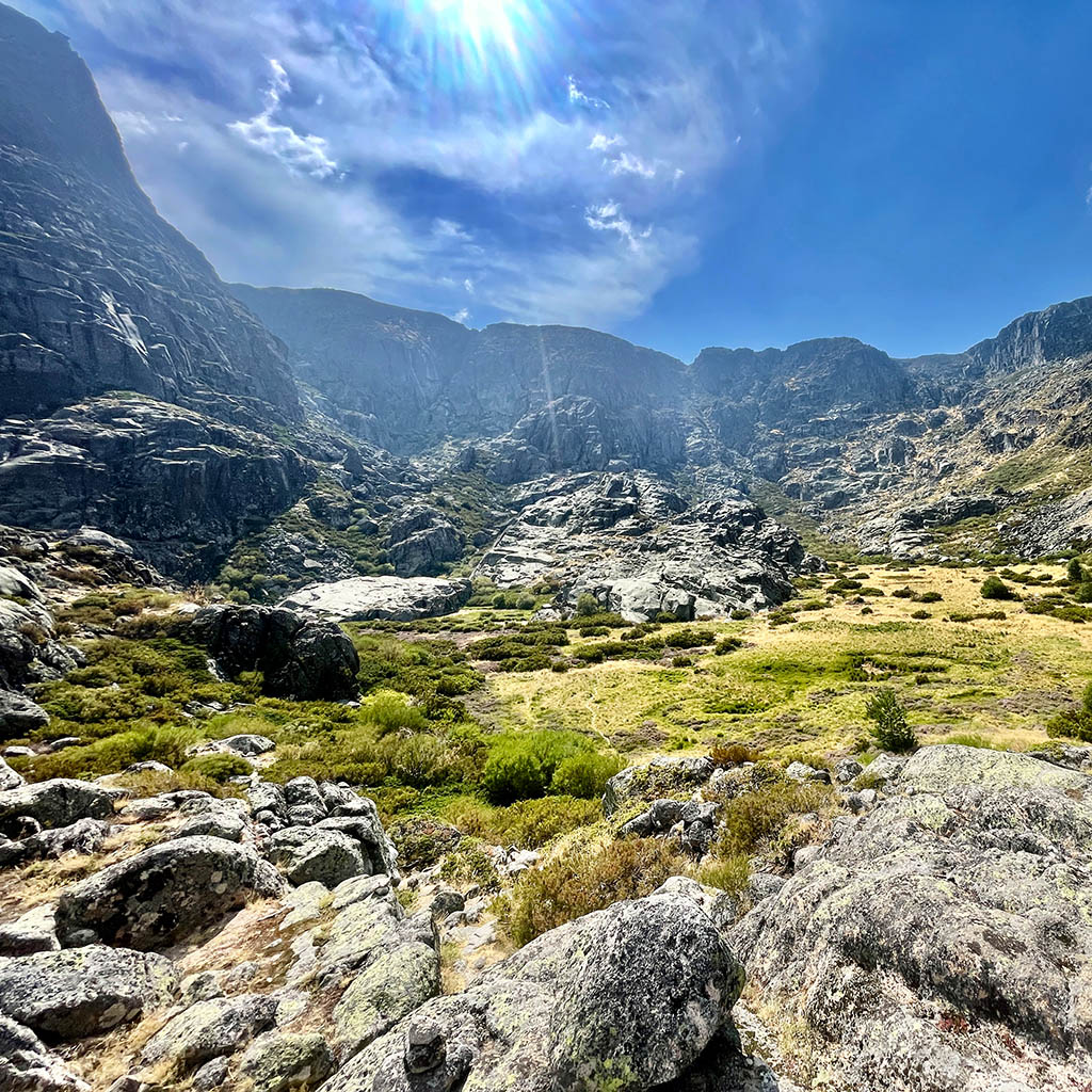
The Serra da Estrela is home to some of Portugal’s most impressive natural landscapes. With its glacial valleys, mountain lakes, crystal-clear rivers and one of the country’s largest concentrations of lakes, dams and reservoirs, the mountain range is a veritable freshwater reserve, feeding some of Portugal’s major rivers. Many of these lakes have given rise to folk legends, such as that of Lagoa Escura, where it was said there was an underground connection to the sea. Whether on short walks, scenic strolls or full-day hikes, you’ll encounter landscapes that change with each season.
Curral do Negro is an excellent starting point for exploring this diversity. Within a radius of about an hour, there are dozens of official walking routes spread across the municipalities of Gouveia, Manteigas, Seia, Celorico da Beira and Guarda, offering options for all levels of difficulty and interests.
Hiking trails around Curral do Negro
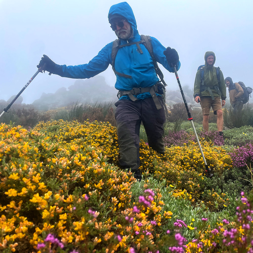
From interpretative walks and hikes through mountain villages to high-altitude routes alongside glacial lakes, rivers, waterfalls and vast granite plateaus, you’ll find trails ranging from short city walks to full day’s hikes. Many of the Serra da Estrela’s most iconic trails, including those in the Rossim Valley, the Torre Valley, the Zêzere Glacial Valley and the Manteigas region, are situated just 30 to 60 minutes from the Park. Below is a selection of over 40 hiking trails located within about an hour’s reach of Curral do Negro, designed to suit all tastes, levels of experience and times of year.
| Distance from the campsite | Trail identification n.° | Trail designation | Distance | Duration | Difficulty | Municipality |
| 0 min | 🔗 PR5 GVA | Vale da Cadela | 12 km | 4h00 | ⬤⬤⬤◯◯ | ℹ️ Gouveia |
| 10 min | 🔗 PR2 GVA | Caminhos da Fé | 16 km | 5h00 | ⬤⬤⬤◯◯ | ℹ️ Gouveia |
| 15 min | 🔗 PR1 GVA | Galhardos | 11 km | 4h00 | ⬤⬤⬤◯◯ | ℹ️ Gouveia |
| 20 min | 🔗 PR3 GVA | Penedo dos Mouros | 14 km | 3h30 | ⬤⬤⬤◯◯ | ℹ️ Gouveia |
| 20 min | 🔗 PR4 GVA | Roteiro Virgiliano | 9 km | 3h00 | ⬤◯◯◯◯ | ℹ️ Gouveia |
| 20 min | 🔗 PR7 GVA | Rio Torto | 11 km | 3h00 | ⬤⬤⬤◯◯ | ℹ️ Gouveia |
| 25 min | 🔗 PR6 GVA | Alminhas | 17 km | 4h30 | ⬤⬤⬤◯◯ | ℹ️ Gouveia |
| 25 min | 🔗 PR8 GVA | Veredas e Barrocas | 13 km | 4h00 | ⬤⬤⬤⬤◯ | ℹ️ Gouveia |
| 25 min | 🔗 PR14 MTG | Corredor dos Mouros | 16 km | 5h30 | ⬤⬤⬤◯◯ | ℹ️ Manteigas |
| 30 min | 🔗 PR9 GVA | Sumo do Mondego | 10 km | 3h00 | ⬤⬤◯◯◯ | ℹ️ Gouveia |
| 30 min | 🔗 PR13 MTG | Faias (beech forest) | 6 km | 2h30 | ⬤⬤⬤◯◯ | ℹ️ Manteigas |
| 35 min | 🔗 PR11 SEI | Vale do Rossim (linear) | 7 km | 3h00 | ⬤⬤⬤⬤◯ | ℹ️ Seia |
| 35 min | 🔗 PR12 SEI | Fervença | 5 km | 2h30 | ⬤◯◯◯◯ | ℹ️ Seia |
| 35 min | 🔗 PR1 CLB | Ladeiras | 4 km | 1h00 | ⬤◯◯◯◯ | ℹ️ Celorico da Beira |
| 35 min | 🔗 PR4 CLB | Calçada Romana | 5 km | 1h30 | ⬤⬤⬤◯◯ | ℹ️ Celorico da Beira |
| 35 min | 🔗 PR5 CLB | Antiga Vila | 12 km | 3h00 | ⬤⬤⬤◯◯ | ℹ️ Celorico da Beira |
| 35 min | 🔗 PR11 CLB | Voo Livre | 13 km | 4h00 | ⬤⬤⬤◯◯ | ℹ️ Celorico da Beira |
| 35 min | 🔗 PR15 CLB | Salgueirinho | 7 km | 2h00 | ⬤⬤◯◯◯ | ℹ️ Celorico da Beira |
| 40 min | 🔗 PR15 MTG | Covão de Santa Maria | 11 km | 5h00 | ⬤⬤⬤◯◯ | ℹ️ Manteigas |
| 40 min | 🔗 PR10 SEI | Caniça | 7 km | 3h00 | ⬤⬤⬤⬤◯ | ℹ️ Seia |
| 40 min | 🔗 PR2 CLB | São Gens | 11 km | 2h45 | ⬤⬤◯◯◯ | ℹ️ Celorico da Beira |
| 40 min | 🔗 PR13 CLB | Penha de Prados | 12 km | 4h00 | ⬤⬤⬤◯◯ | ℹ️ Celorico da Beira |
| 45 min | 🔗 PR2 MTG | Javali | 11 km | 5h00 | ⬤⬤⬤◯◯ | ℹ️ Manteigas |
| 45 min | 🔗 PR3 MTG | Vila | 2 km | 0h45 | ⬤◯◯◯◯ | ℹ️ Manteigas |
| 45 min | 🔗 PR4 MTG | Carvão | 20 km | 8h00 | ⬤⬤⬤⬤⬤ | ℹ️ Manteigas |
| 45 min | 🔗 PR11 MTG | Sol | 4 km | 2h30 | ⬤◯◯◯◯ | ℹ️ Manteigas |
| 50 min | 🔗 PR2 GRD | Cabeça Alta | 20 km | 4h30 | ⬤⬤⬤⬤◯ | ℹ️ Guarda |
| 50 min | 🔗 PAS GRD | Passadiços do Mondego (linear) | 12 km | 4h00 | ⬤⬤⬤◯◯ | ℹ️ Guarda |
| 50 min | 🔗 PR8 MTG | Reboleira | 16 km | 5h00 | ⬤⬤⬤◯◯ | ℹ️ Manteigas |
| 50 min | 🔗 PR10 MTG | Azinha | 19 km | 6h00 | ⬤⬤⬤◯◯ | ℹ️ Manteigas |
| 55 min | 🔗 PR9 MTG | Vale de Amoreira | 6 km | 2h30 | ⬤⬤⬤◯◯ | ℹ️ Manteigas |
| 55 min | 🔗 PR2 SEI | Ribeira de Loriga (linear) | 16 km | 5h30 | ⬤⬤⬤⬤⬤ | ℹ️ Seia |
| 55 min | 🔗 PR3 SEI | Socalcos | 3 km | 1h45 | ⬤◯◯◯◯ | ℹ️ Seia |
| 55 min | 🔗 PR4 SEI | Eira | 3 km | 1h30 | ⬤◯◯◯◯ | ℹ️ Seia |
| 55 min | 🔗 PR5 SEI | Garganta de Loriga (linear) | 9 km | 3h30 | ⬤⬤⬤⬤⬤ | ℹ️ Seia |
| 60 min | 🔗 PR6 GRD | Quinta da Taberna | 8 km | 3h30 | ⬤⬤⬤⬤⬤ | Guarda |
| 60 min | 🔗 PR1 MTG | Poço do Inferno | 3 km | 1h30 | ⬤⬤⬤◯◯ | ℹ️ Manteigas |
| 60 min | 🔗 PR5 MTG | Maciço Central | 13 km | 8h00 | ⬤⬤⬤⬤⬤ | ℹ️ Manteigas |
| 70 min | 🔗 PR7 MTG | Poios Brancos | 8 km | 4h00 | ⬤⬤⬤◯◯ | ℹ️ Manteigas |
| 70 min | 🔗 PR1 SEI | Meandros | 9 km | 2h30 | ⬤◯◯◯◯ | ℹ️ Seia |
| 70 min | 🔗 PR7 SEI | Canadas | 7 km | 2h00 | ⬤⬤⬤⬤◯ | ℹ️ Seia |
| 70 min | 🔗 PR13 SEI | Ribeira de Alvoco (linear) | 20 km | 6h30 | ⬤⬤⬤⬤⬤ | ℹ️ Seia |
| 70 min | 🔗 PR14 SEI | Pastoreio (linear) | 8 km | 3h30 | ⬤⬤⬤⬤⬤ | ℹ️ Seia |
Mountain lakes and landscapes
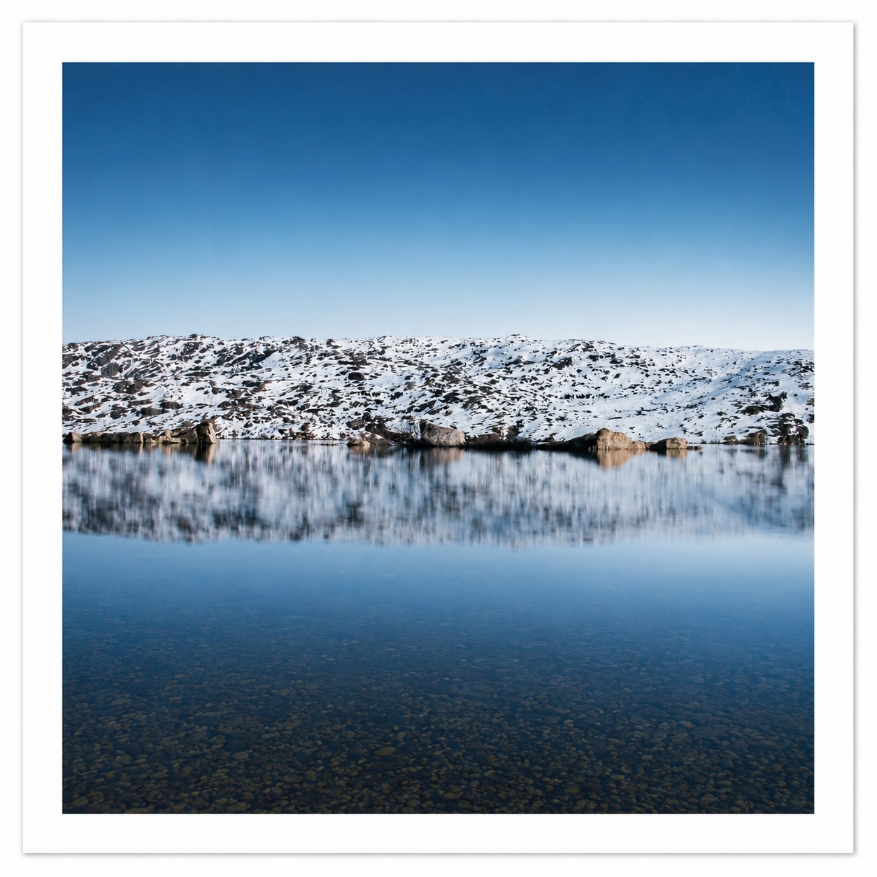
Discover some of the most emblematic places in Serra da Estrela, including the Rossim Valley (35 min), Lagoa Comprida, Covão dos Conchos, or Lagoa do Covão do Curral (all at ~45 min). Serra da Estrela brings together about 40 lagoons, dams and mountain reservoirs, scattered over its plateaus and glacier valleys.
Valleys and river beaches
Explore Covão da Ponte (25 min), the Rossim Valley lake and the source of the Mondego River (35 min), the Zêzere glacier valley and the Covão de Ametade with the source of the Zêzere River (1 h), and other river beaches and mountain streams.
Hiking trails
As shown in the list above, Serra da Estrela offers dozens of routes signposted for all levels of difficulty, from small interpretive walks to full-day mountain crossings.
High plains and Torre
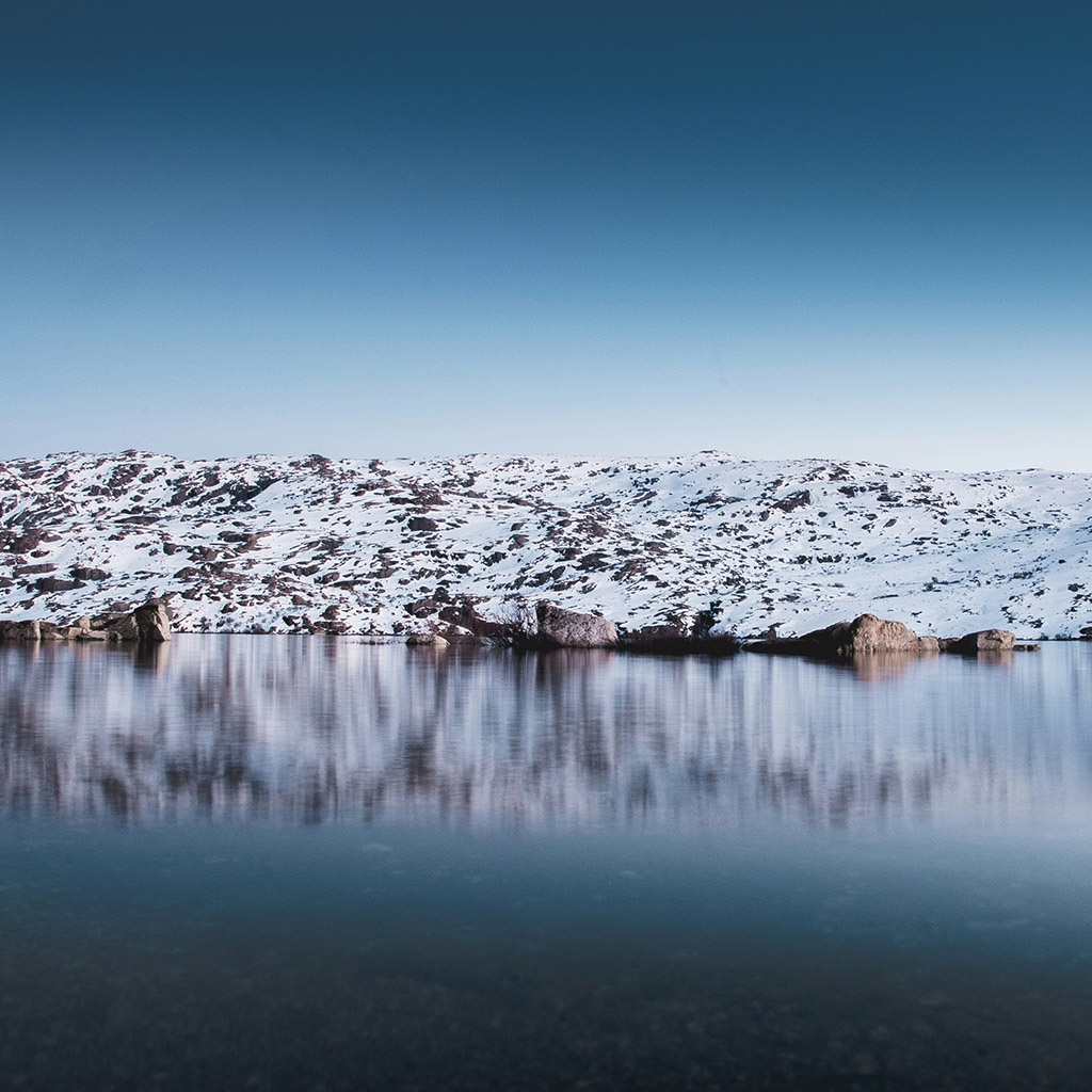
Above 1,400 meters high, Serra da Estrela reveals some of its most emblematic landscapes: whether to find snow in the winter or enjoy the cool climate and mountain lagoons in the summer, the highlights are the Monte de Sao Tiago and the Santinha, from the Portela de Folgosinho (15 min), the Rossim Valley lake (30 min) and the Lagoa Comprida (45 min). The Torre, formerly Malhão, the highest point in mainland Portugal with 1,993 meters of altitude, is 44 km away (1 h) from the campsite.
Historical and mountain villages
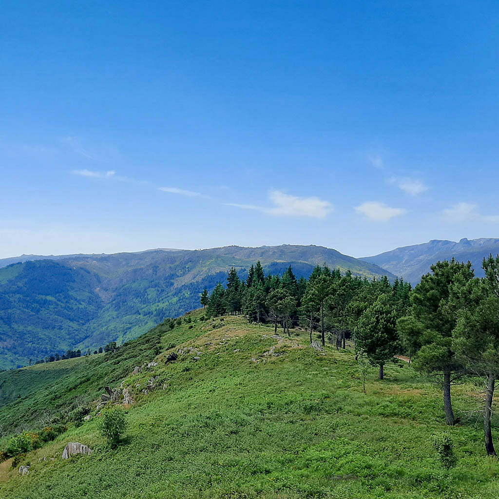
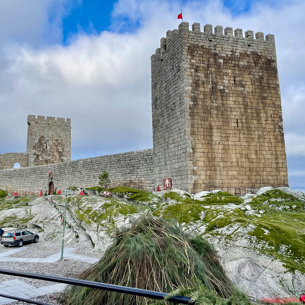
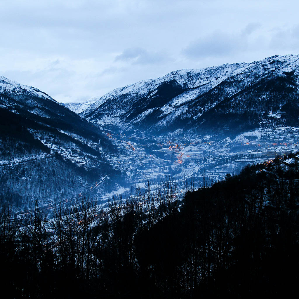
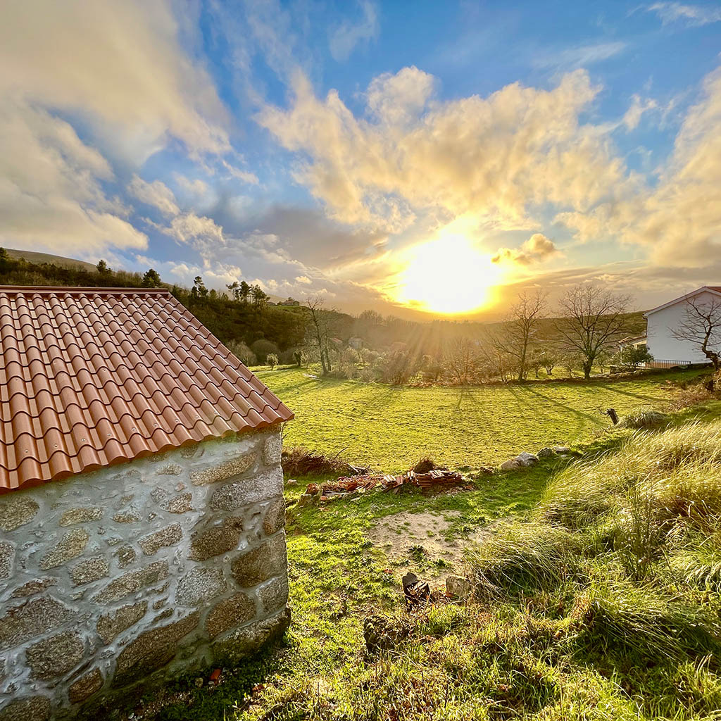
A few minutes from Curral do Negro are some of the most beautiful villages in Serra da Estrela. Among historic villages, mountain villages and preserved small rural villages, each one reveals a different facet of the mountain identity, from medieval castles and old neighborhoods to glacier valleys, pastoral traditions and landscapes of great natural beauty.
- Folgosinho (12 min) – Mountain village linked to the legend of Viriato, with a castle built in the 1940s on an impressive quartz lode. Taking the road up to the Portela pass, it is also one of the main gateways to the Serra da Estrela plateau.
- Linhares da Beira (35 min) – One of the best preserved historic villages in Portugal, dominated by its medieval castle. The cobbled streets, the granite houses and the views over the valley make it an unavoidable visit.
- Figueiró da Serra & Freixo da Serra (20 min) – Two small mountain villages that preserve the traditional agricultural landscape of Serra da Estrela, between rye fields, granite terraces and old irrigated levadas.
- Videmonte (50 min) – Mountain village located on the north side of Serra da Estrela, known for its 🔗 Traditional rye bread, for its granitic landscapes and as a starting point for the Mondego walkways and various walking routes.
- Manteigas (45 min) – Vila Serrana Located in the heart of Serra da Estrela, a starting point to discover the Zêzere glacier valley, Covão d’Ametade and some of the most emblematic mountain trails.
- Sabugueiro (35 min) – Known as the highest village in Portugal, it is an excellent base for exploring the long lagoon, the tower and the high mountain landscapes of Serra da Estrela.
- Loriga (50 min) – Historical mountain village embedded in a glacier valley, famous for its river beach with crystal clear waters, for the levadas and for the routes that cross the south side of the mountains.
- Trancoso (50 min) – Historic village walled with a remarkable medieval, Jewish castle and one of the most popular traditional fairs in the region (Fridays), maintaining an important historical and cultural heritage.
Activities for the whole family
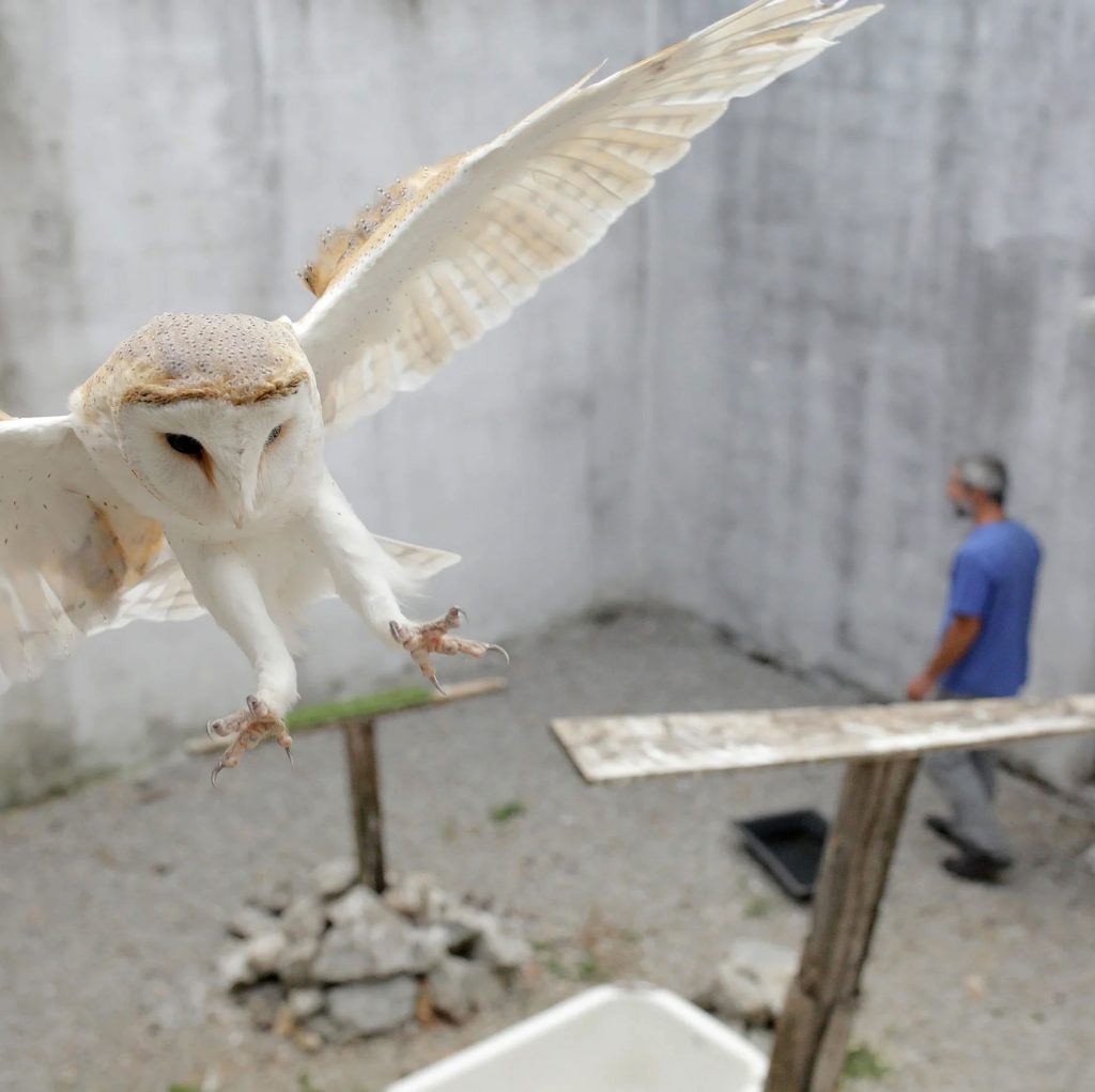
In addition to hiking and mountain villages, the region offers several activities for all ages. Discover the Ecological Park of Gouveia, visit CERVAS – Ecology, Recovery and Surveillance Center for Wild Animals, tour the Mondego walkways or enjoy a peaceful day on the river beach of Covão da Ponte, one of the most appreciated places from Serra da Estrela, where the absence of a mobile network invites you to disconnect and fully enjoy nature.
A few minutes from Curral do Negro, you can also visit the Pharaoh’s swing, in Folgosinho, and participate in the activities promoted throughout the year by our partners, including guided walks, nature observation, workshops, interpretive visits and cultural events. See the page partners and activities to find some suggestions.
For rainy days
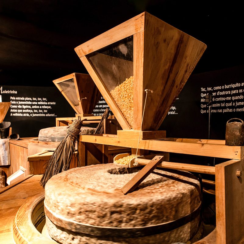
Even on the wettest days, Serra da Estrela offers numerous possibilities to discover the region. Take the opportunity to visit the Museums of Gouveia, the Bread Museum in Seia, the Olive Oil Museum in Bobadela or the Burel Factory, in Manteigas, where you can get to know the tradition of weaving Burel wool fabric and its contemporary reinvention.
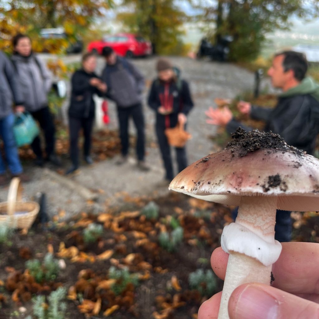
If you prefer to stay in contact with nature, just wear a rain coat. Autumn and winter are the best times to observe mushrooms, discover the forests or participate in a mycology hikes organized by one of our partners. And if time invites you simply to slow down, nothing better than spending a few hours in the cozy bar of Curral do Negro, with a book or a hot drink, while the fog silently engulfs the trees outside.